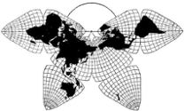
Cahill 1909
| Go to Gene Keyes home page |
|
| Go to complete linklist of Cahill-Keyes map development |
|
|
|
|
|
Cahill 1909
|
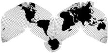
Cahill-Keyes 1975 |
|
This is page 5 of 5 showing Duncan Webb's draft version, a Beta-3 of the Cahill-Keyes Multi-scale Megamap: 10 selected images enlarged to 1/10 M.
For explanation, full view (reduced to ca. 1/71 M), and octants 1-8 at 1/50 M (5x smaller than the scale here), go back to page 1. For sheets 1-6 of 28, full-scale, at 1/25 M, plus 5 full-size insets, and a photo of the assembled map, go to page 2. For sheets 7-17 of 28, full-scale, at 1/25 M, go to page 3. For sheets 18-28 of 28, full-scale at 1/25 M, go to page 4. As mentioned on p. 1 and 2, Duncan Webb's "World Political Map" is an incomplete draft, from which my own printer could not make a direct copy of the pdf; only inferior screenshot- jpeg prints, which do not show the 1º meridians and parallels, while the 5º ones are barely visible. |
|
Duncan Webb's Cahill-Keyes "World Political Map":
selected screen shots at 1/10 M (from his pdf, enlarged to 258%). 1/10 M was
the scale I set on my monitor when I did those particular screen grabs. If you want to view
the map at exactly 1/10 M on your monitor, try to adjust image size so that
the grid-square length is 100 mm.
A complete Cahill-Keyes map at 1/10 M is 4 m long (13'), so it is impractical to do jpegs of the whole thing, but you can see the 1/10 M version in a pdf, if you view it at 258%. (A 25 MB download.) However, unlike Chrome, which cannot open that pdf, the Adobe Reader is very slow to scroll. Though these images are 2 1/2 times larger than the scale used in Duncan's wall map draft, they are still reductions from the same basic Cahill-Keyes Megamap (graticule, coastline, and borders, without lettering, colors, etc.) whose original is 1/1 M. In other words, resolution does not deteriorate up to 1/1 M, or even 1/250 K; but lettering layers would have to be adjusted, depending on scale. Note: printed copies mentioned in caption below are not yet available. Sorry about that. |
Credits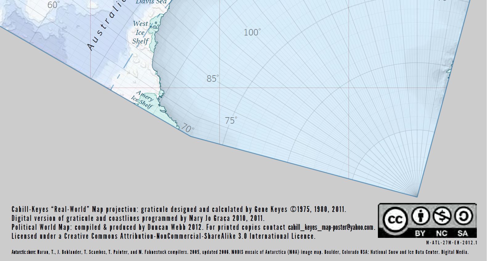
|
Sources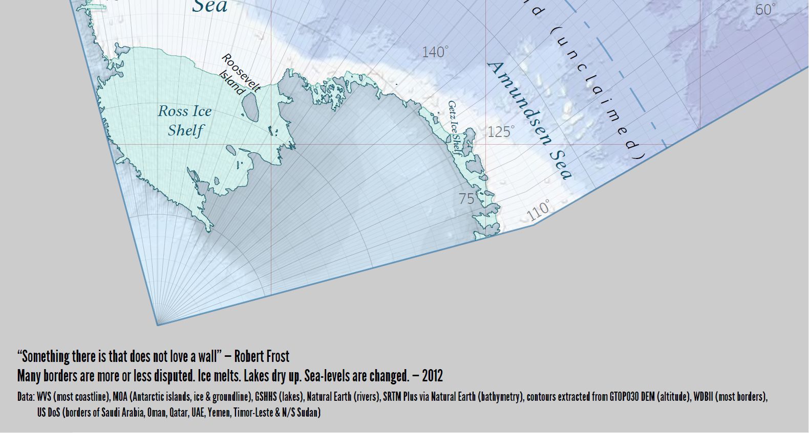
|
Antarctic Peninsula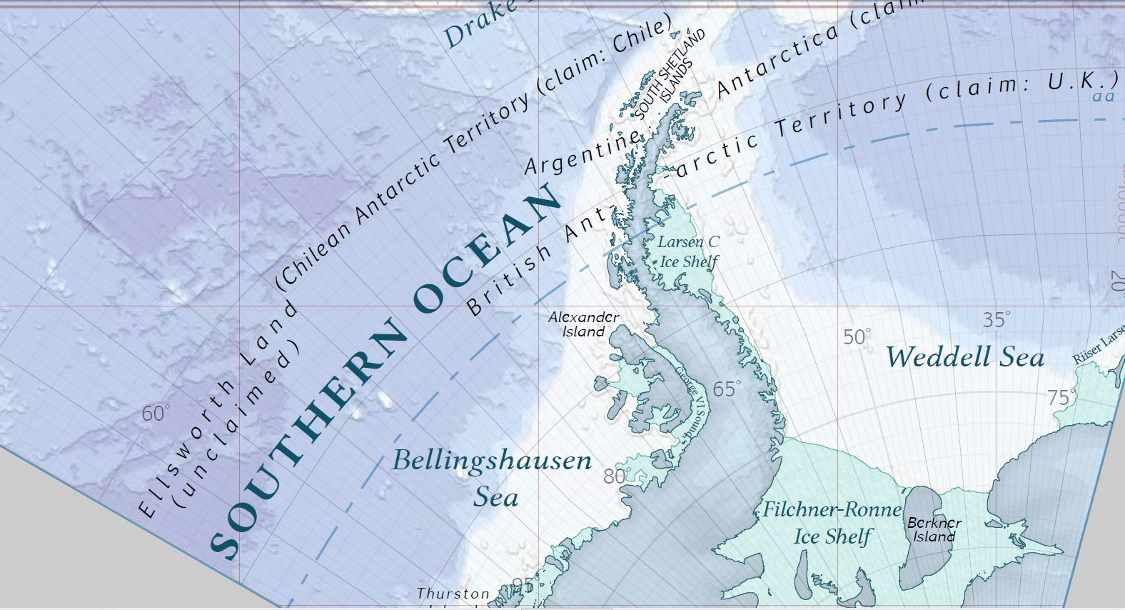
|
Australia and Indonesia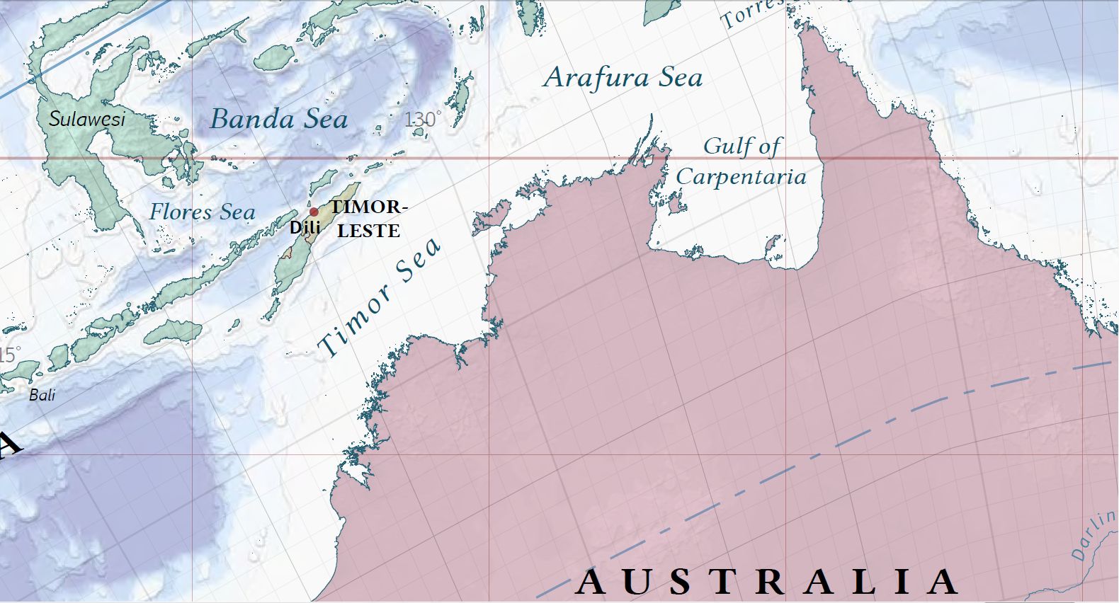
|
East Asia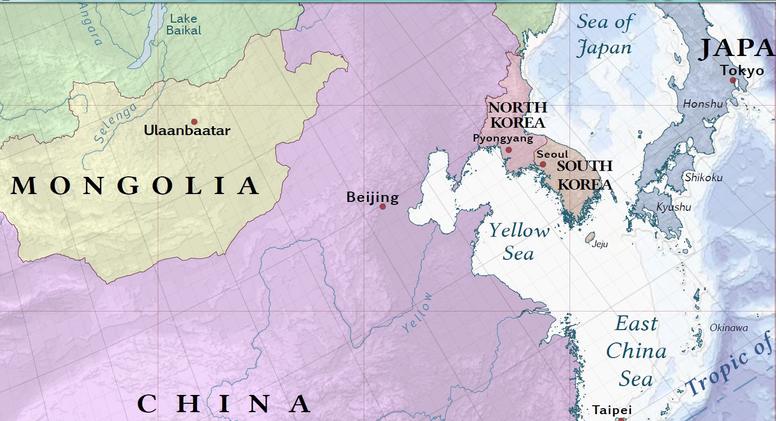
|
The 'stans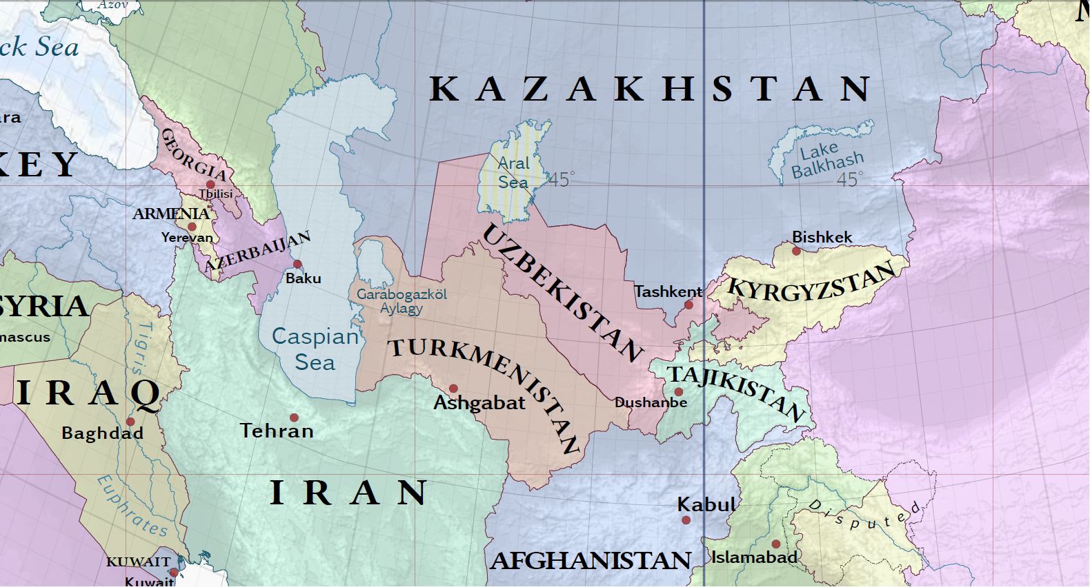
|
E.Europe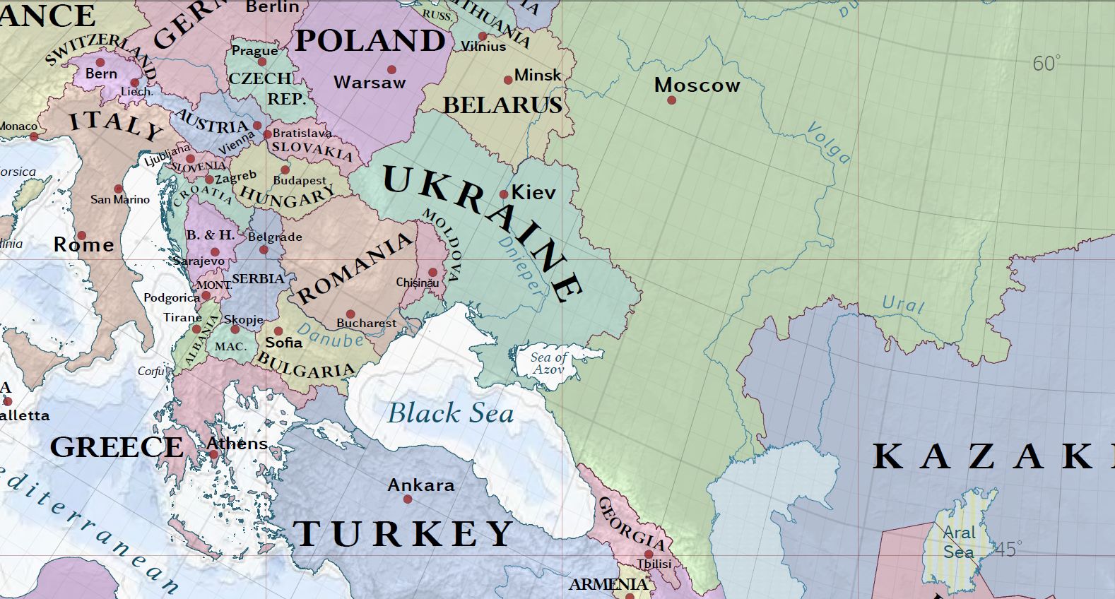
|
N.W. Africa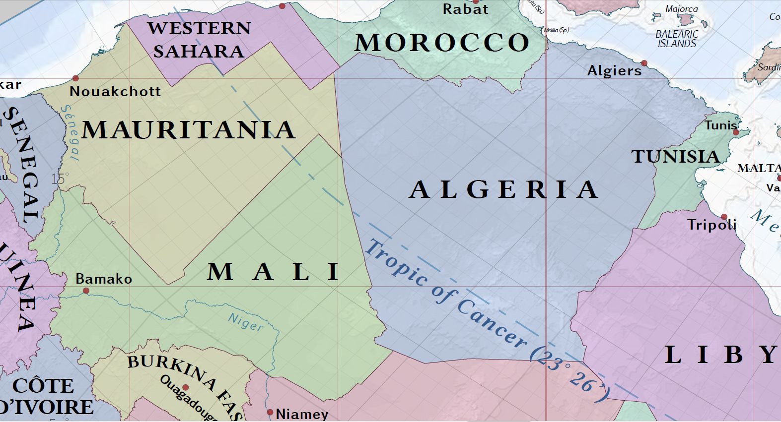
|
Caribbean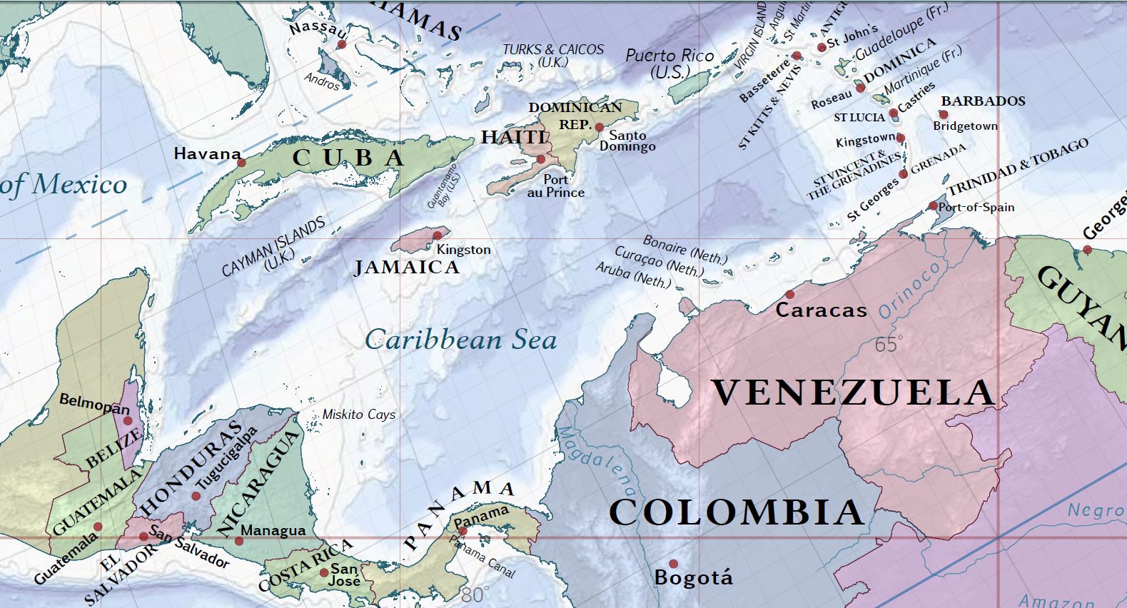
|
N.E. America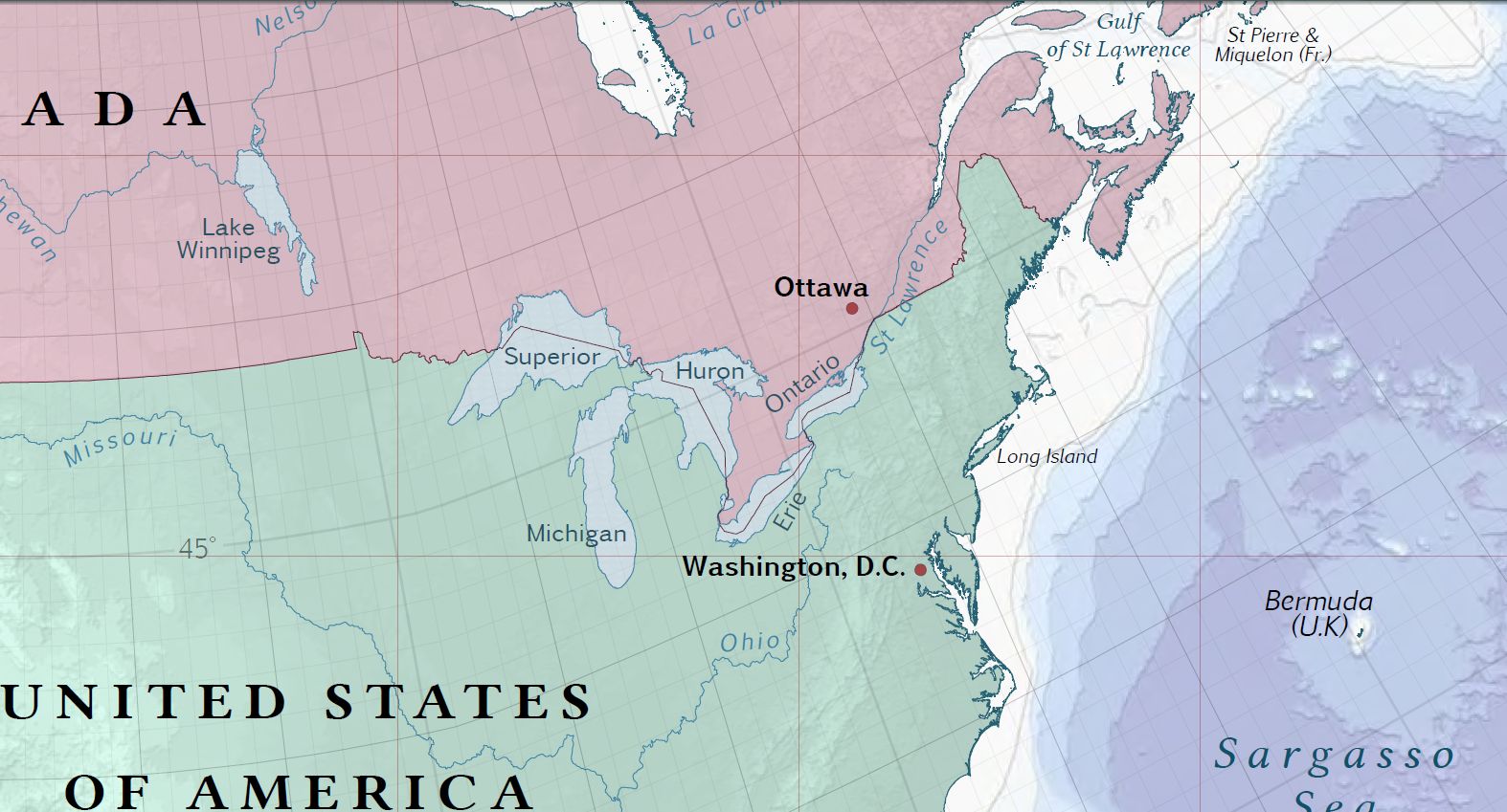
|