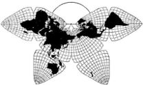
Cahill 1909
| Go to Gene Keyes home page |
|
| Go to complete linklist of Cahill-Keyes map development |
|
|
|
|
|
Cahill 1909
|
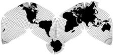
Cahill-Keyes 1975 |
2013-05-26 53 screenshots on 5 pages
Cahill-Keyes Multi-Scale Megamap, Beta-3:Draft wall-size version"World Political Map" by Duncan Webb with countries, capitals, and colors, etc. This draft, 2012-07-15,
was produced by Duncan Webb after extensive work he did
in 2012; but due to his health, it remains unfinished and un-proofread.
He had added all the lettering for countries, capitals, lakes, and rivers;
plus up-to-date borders, a more detailed Antarctic coastline, coloring, elevations,
bathymetry, and descriptive insets. Unfortunately, it does not have the re-united
Antarctica, Russian Far East and Iceland extensions, etc., of the Cahill-Keyes
Beta-2,
which he had planned to include. Nor had he been able to make a final printer-ready
version, whose first edition we wanted to try out on Indiegogo (as a
non-profit, cost-recovery effort). Duncan had also intended several different
wall-size versions similar to this, 1.5 m long (ca. 5'): e.g., joined at the Pacific rather than the Atlantic; other languages; etc. However, there has been a ten-month hiatus since the draft version, and no further word from Duncan since then. I lack his graphic know-how, and it might take quite awhile at best for Mary Jo Graça or myself to reproduce only some of Duncan's progress. So rather than wait any longer, I have chosen to present his unfinished version. What he had done was such a significant enhancement of the Cahill-Keyes map that it was too good to go to waste, even though the following screenshots are only a stopgap way of sneak-previewing the Beta-3. To download that entire full-size (but uncompleted) initial Duncan Webb pdf (25 MB), click here, and save-as; then open with Adobe Reader.
The first jpeg below is a screen grab from his test pdf,
reduced to ca. 23%, the default full-screen view in Adobe Reader on my 17" laptop, ca. 1/71 M. Then, on p. 2-3-4 of this set, I show the entire wall map divided into 28 screen-shots at the same size of Duncan Webb's map draft, which can be printed on letter-size paper, trimmed, and assembled into a wall-size improvisation, 1/25 M. Finally, on p. 5, I show 10 selected screenshot close-ups at 1/10 M, two and a half times Duncan's scale. NB: This entire set is indicative of the "Multi-scale" nature of the Cahill-Keyes Megamap. Everything shown here, whether 1/71 M, 1/50 M, 1/25 M, or 1/10 M, is all the same map. |
Duncan Webb's "World Political Map" wall-version of Cahill-Keyes Multi-scale Megamap
± 23% of original size, ca. 1/71 M. (Unfinished draft, 2012-07-15). 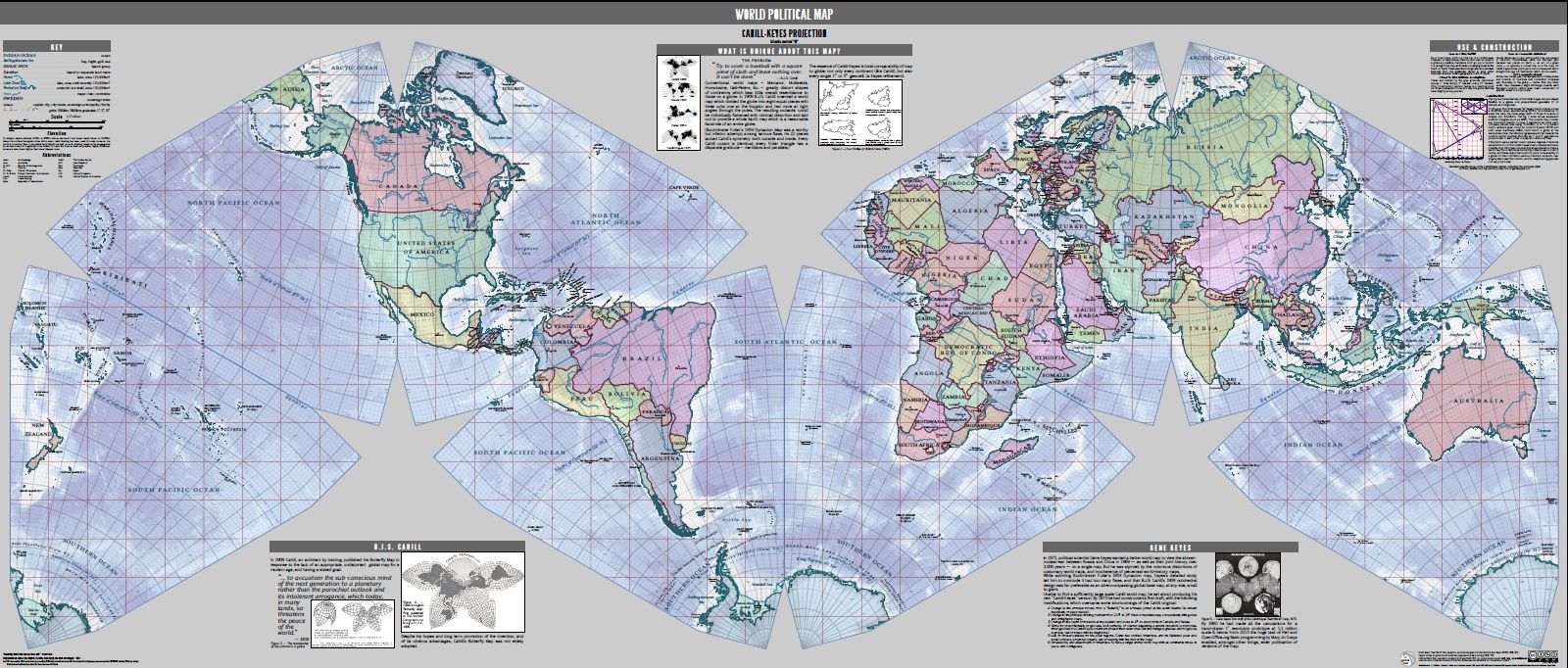
|
|
Duncan Webb's Cahill-Keyes "World Political Map":
divided into 8 overlapping segments, with one octant each.
Original screen-shots are from the pdf at 51.7% on my monitor, resulting in 1/50 M (still half the size of the wall map itself).
Since monitor size and resolutions vary, the actual scale on yours can be
determined by measuring the length of one of the grid squares. They represent
1,000 km apiece, so you can divide its length in millimeters on your monitor,
into 1,000. (Suppose your grid square is 30 mm. Divide into 1,000, and your
scale is 1/33 M.) If you want 1/50 M, adjust your image size so that the
grid squares are 20 mm long.
Note that octant numbering goes L-R, #1-4, then down to Australia, #5 (bottom right); then to #6 (bottom left), New Zealand, and L-R, #6-8. |
Octant 1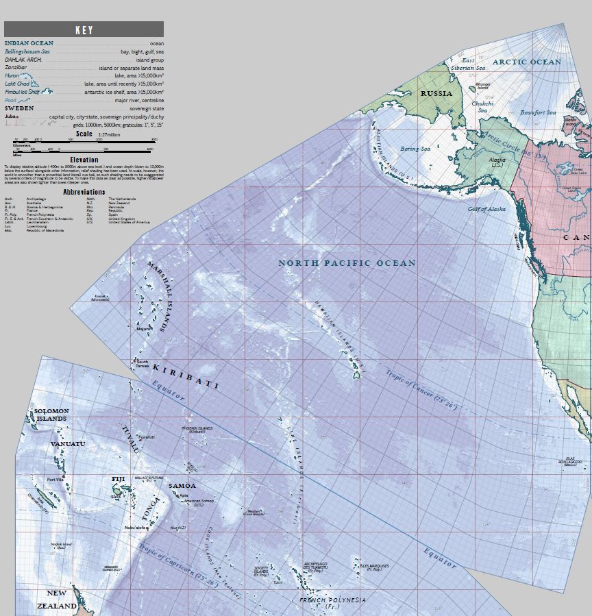
|
Octant 2
|
Octant 3
|
Octant 4
|
Octant 5
|
Octant 6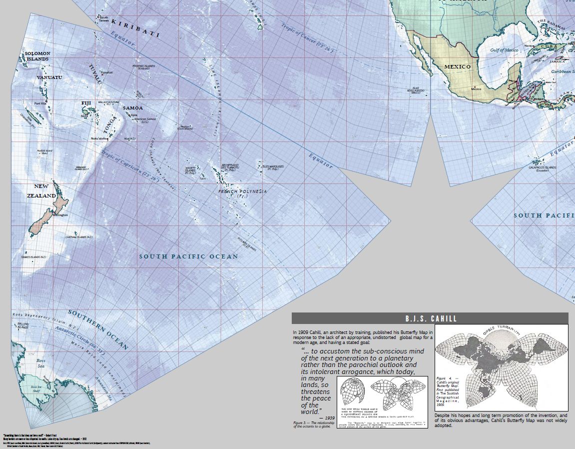
|
Octant 7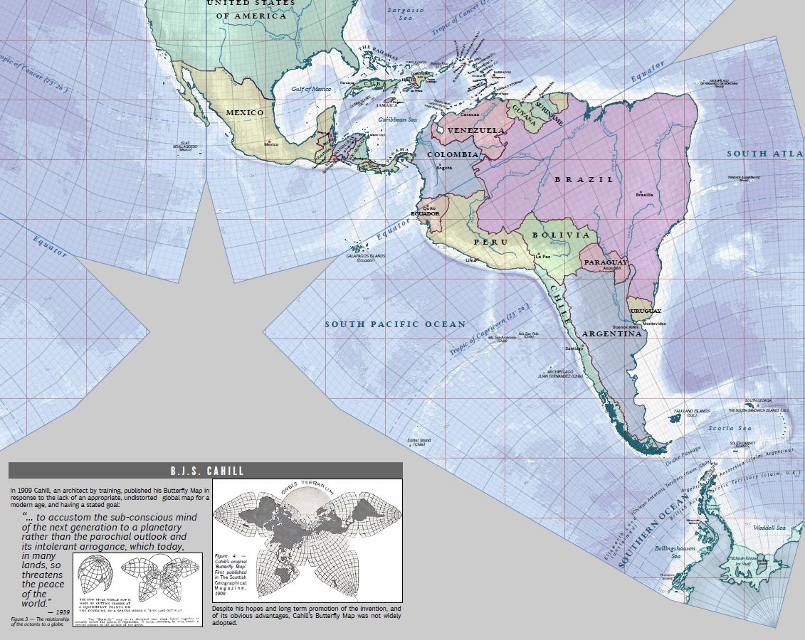
|
Octant 8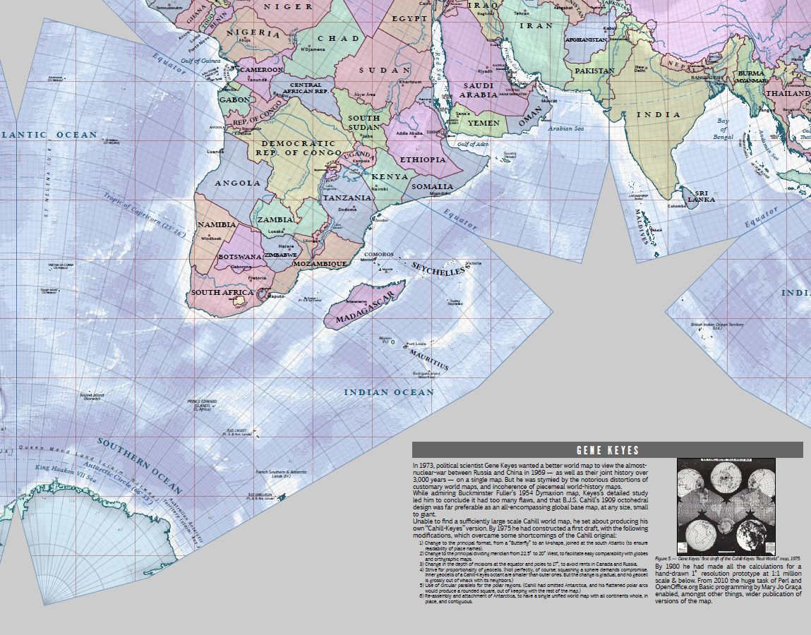
|