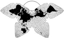
Cahill 1909
| Go to Gene Keyes home page |
|
| Go to complete linklist of Cahill-Keyes map development |
|
|
|
|
|
Cahill 1909
|
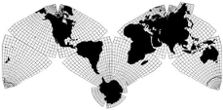
Cahill-Keyes 1975 |
|
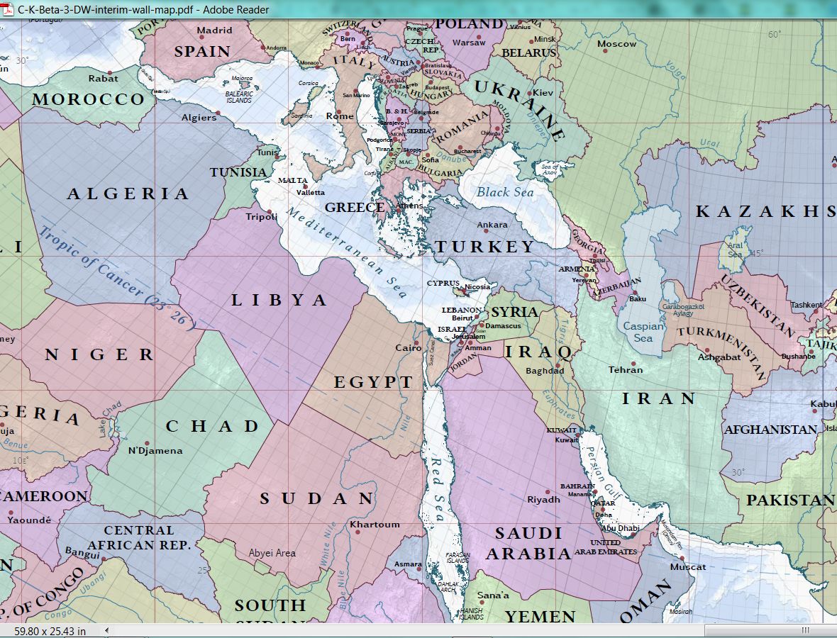
This is page 4 of 5 of the Duncan Webb draft version, with sheets 18-28
of 28, full-scale at 1/25 M.
For explanation, full view (reduced to ca. 1/71 M), and octants 1-8 at 1/50 M, go to page 1. For sheets 1-6 of 28, full-scale at 1/25 M, plus 5 full-size insets, and a photo of the assembled map, go to page 2. For sheets 7-17 of 28, full-scale at 1/25 M, go to page 3. For 10 selected images at 1/10 M, go to page 5. As mentioned on p. 1 and 2, Duncan Webb's "World Political Map" is an incomplete draft, from which my own printer could not make a direct copy of the pdf; only inferior screenshot jpegs. Nonetheless, to preview his wall map in its full size, 84 cm x 164 cm (ca. 33" x 64"), I spliced together 28 of those dubious jpegs on letter-size paper (+ 4 extra sheets to reassemble Antarctica, Russian Far East, Iceland, etc.). A severe defect of this splice is that the jpeg-prints do not show the 1º meridians and parallels, while the 5º ones are barely visible. |
#18 of 28.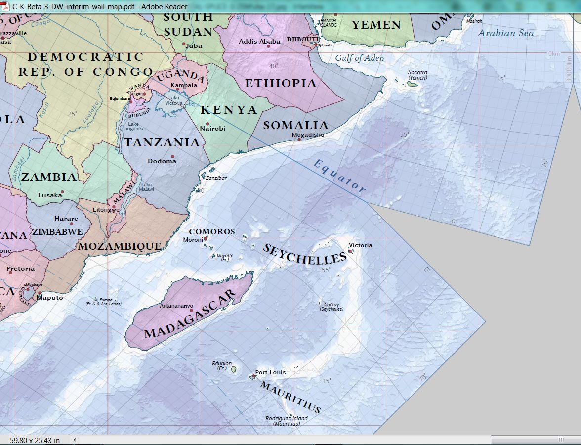
|
|
#19 of 28.
|
#20 of 28.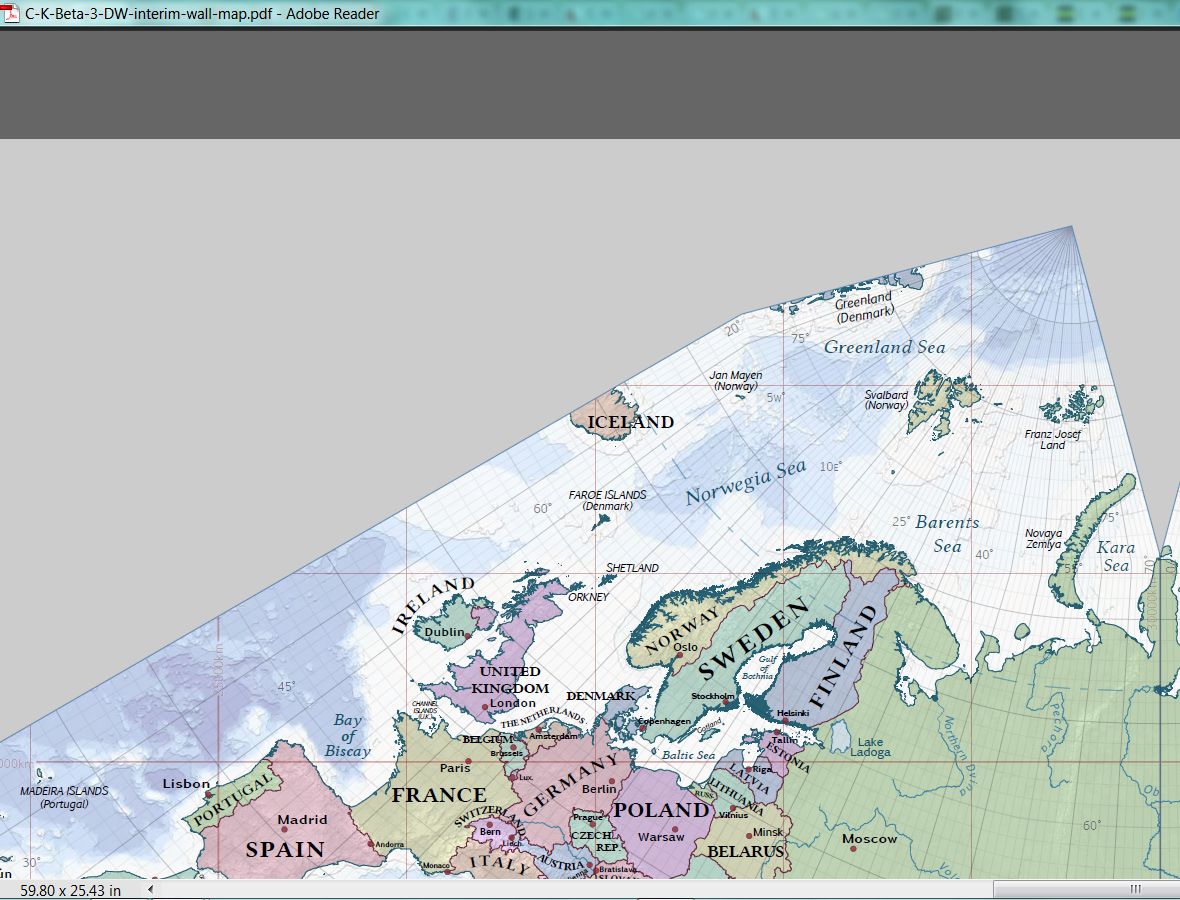
|
#21 of 28.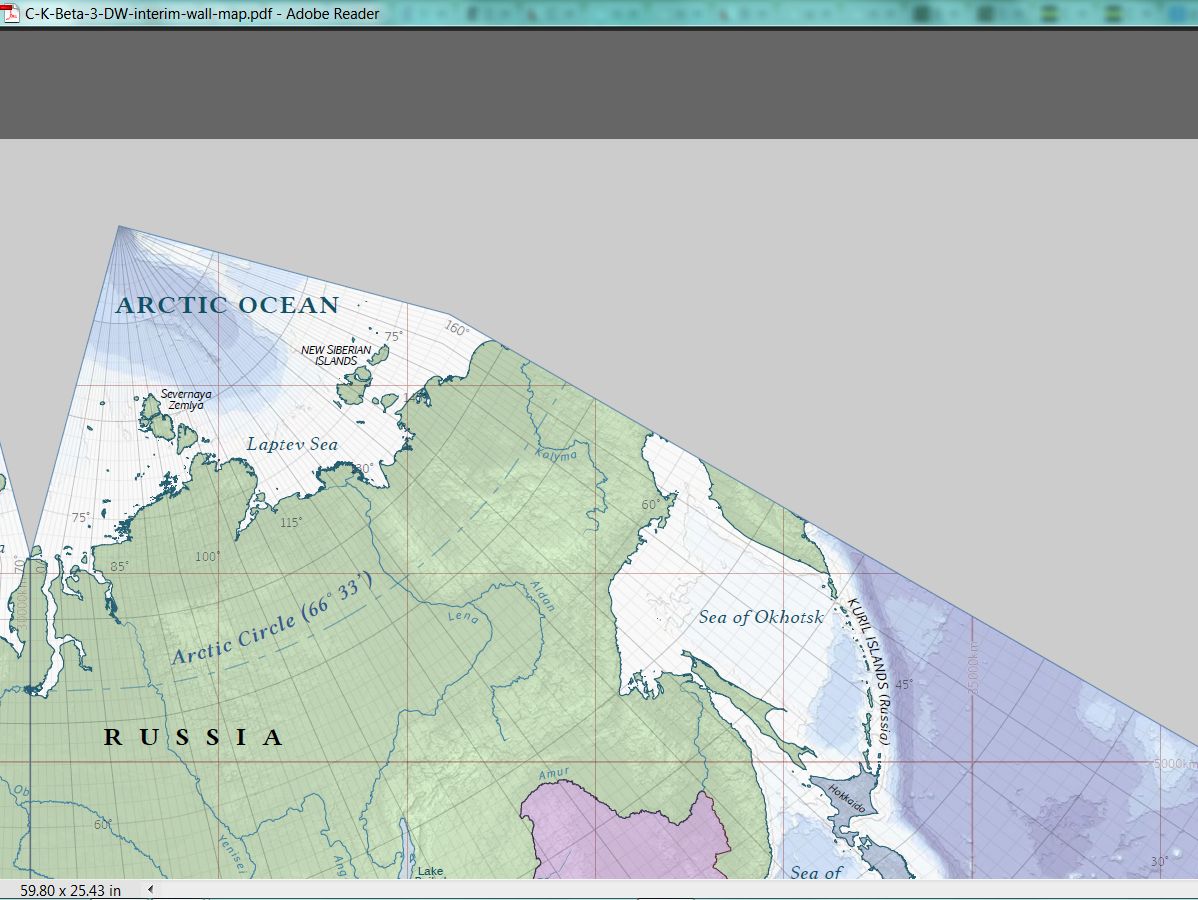
|
#22 of 28.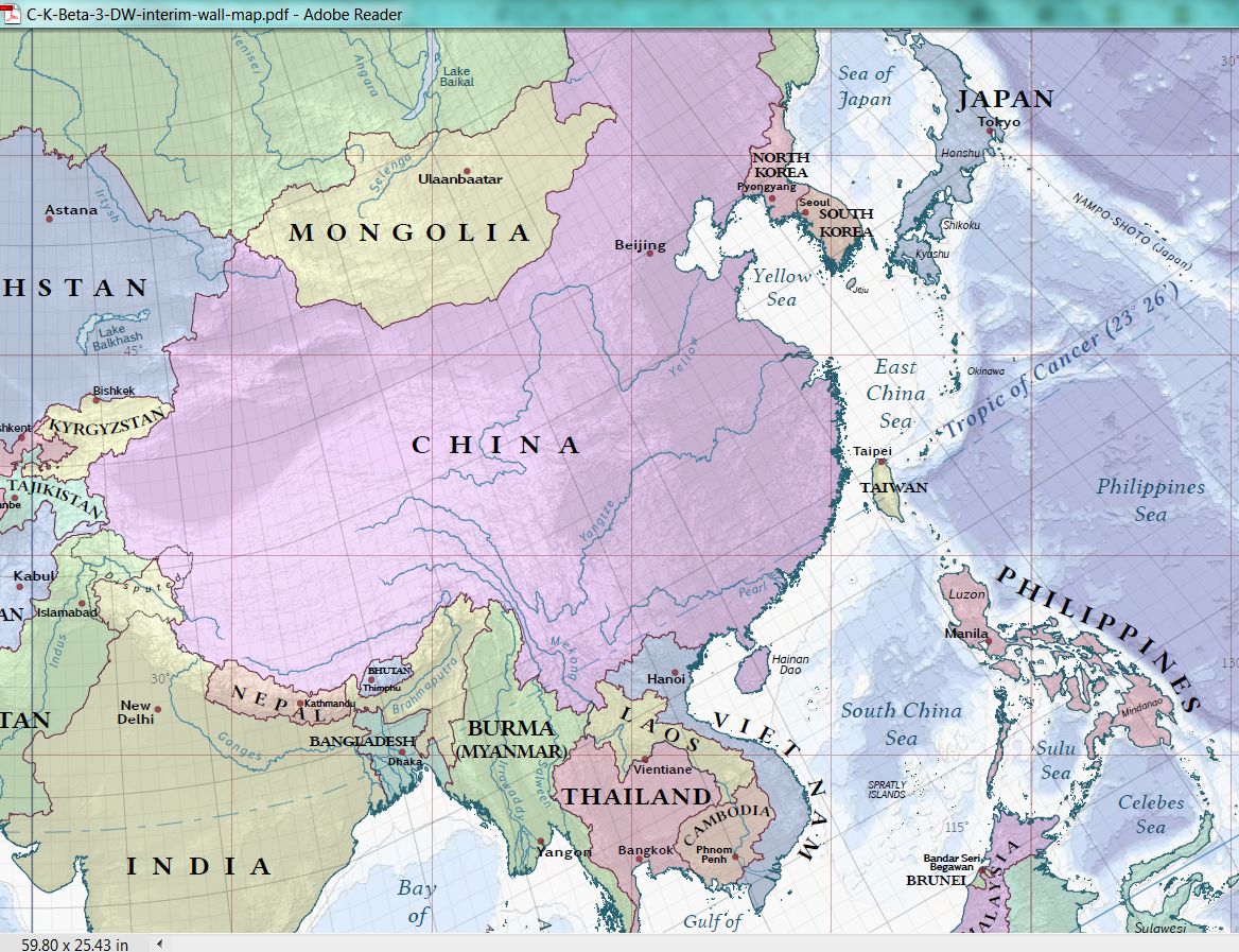
|
#23 of 28.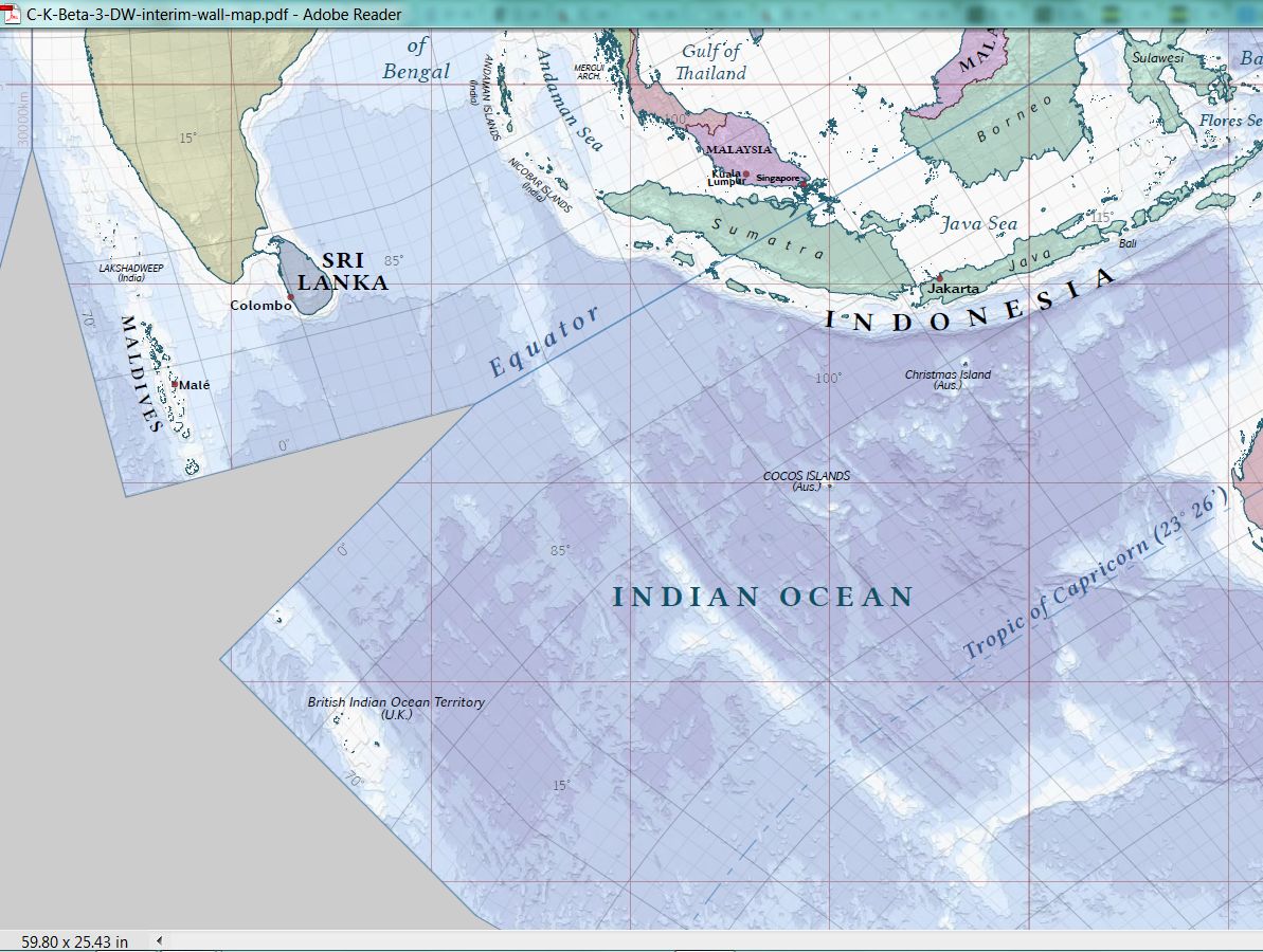
|
#24 of 28.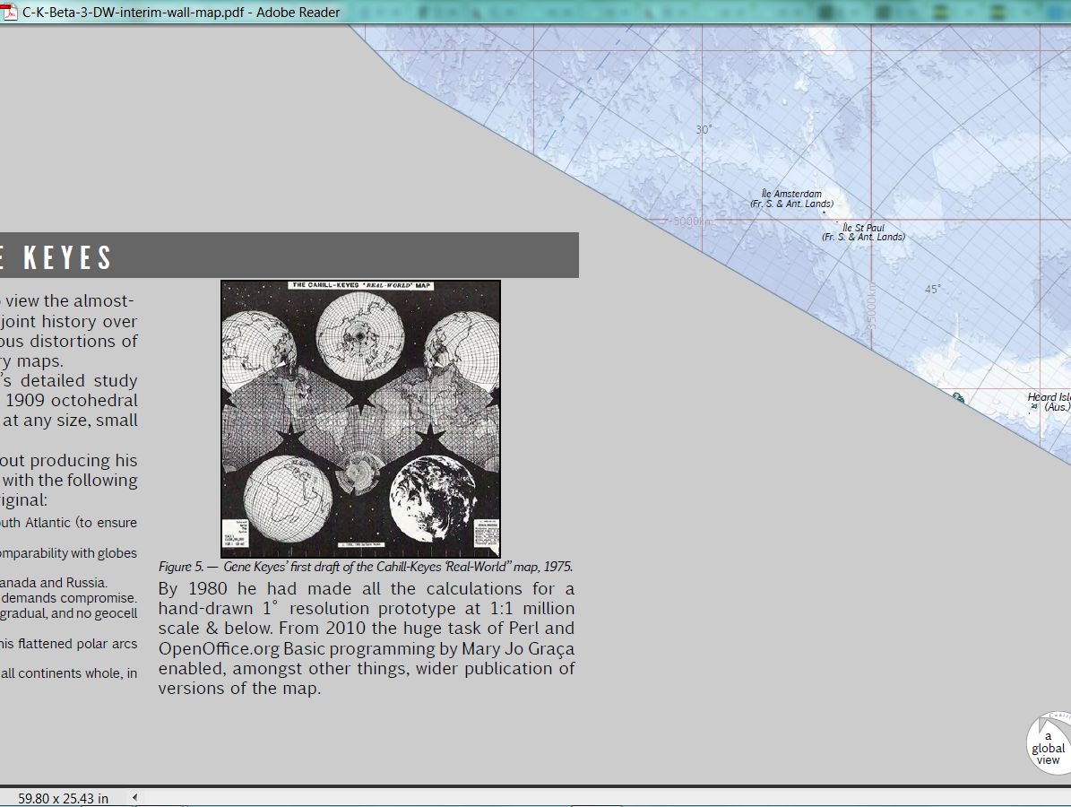
|
| #25 of 28. Note: make 2 of these, so you can cut out the Antarctica piece along 60º. (Beta-2 had Antarctica, etc., digitally attached in one piece, but Duncan had not yet included that here.) 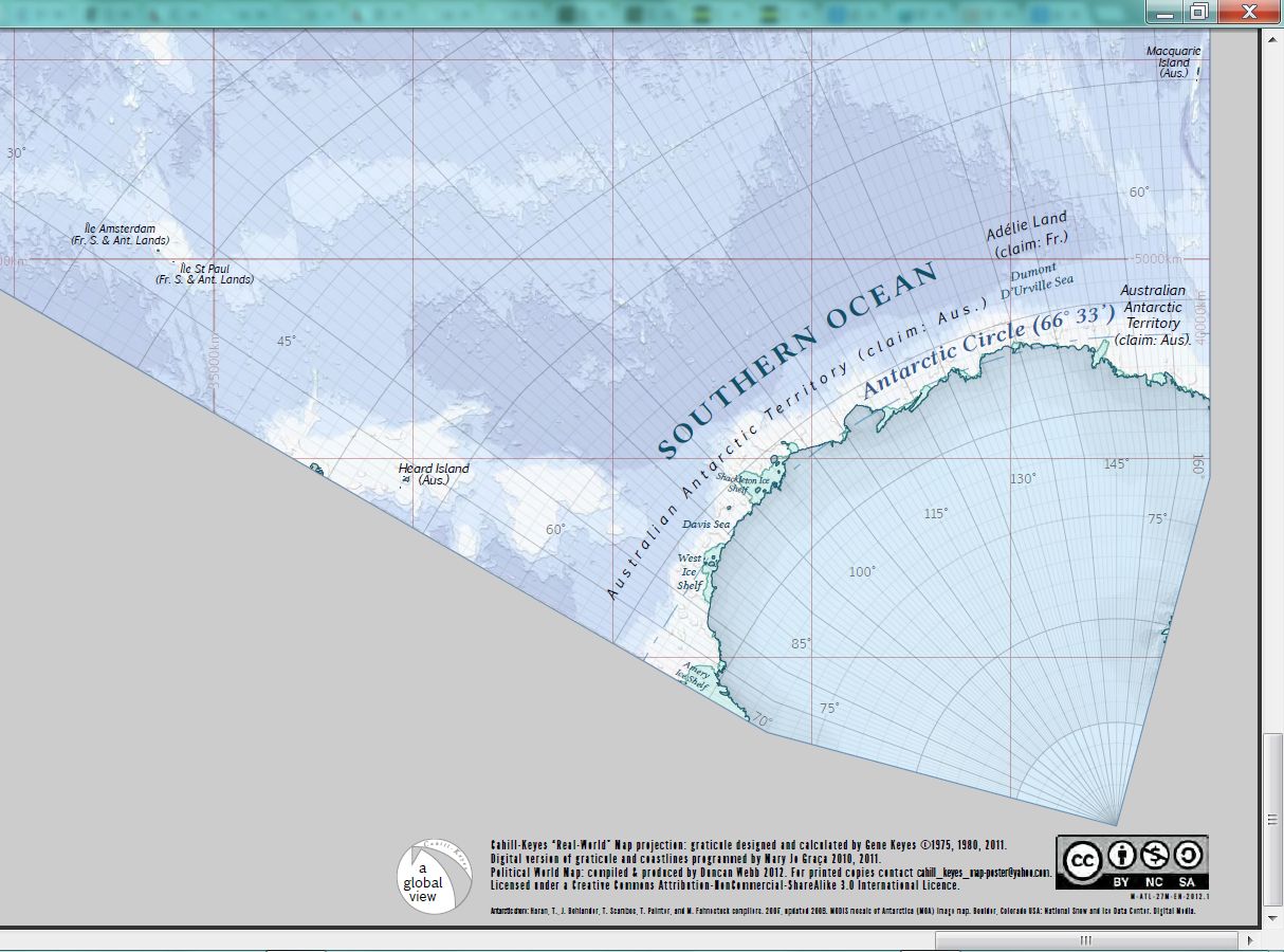
|
#26 of 28.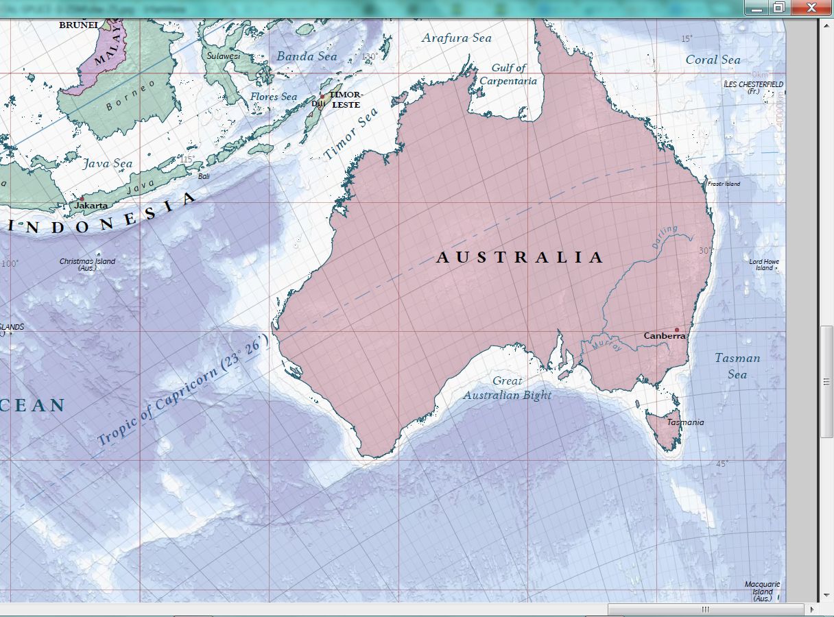
|
#27 of 28. 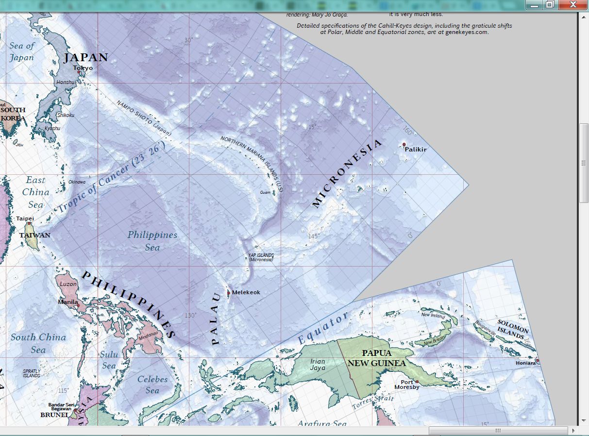
|
#28 of 28.
|