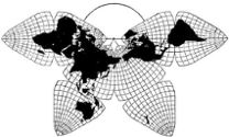
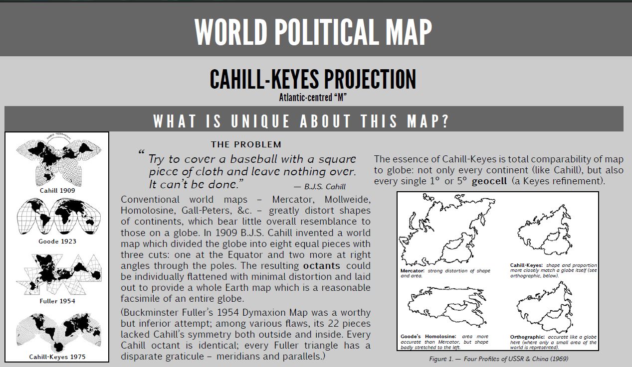
Cahill 1909
| Go to Gene Keyes home page |
|
| Go to complete linklist of Cahill-Keyes map development |
|
|
|
|
|
Cahill 1909
|
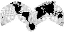
Cahill-Keyes 1975 |
|
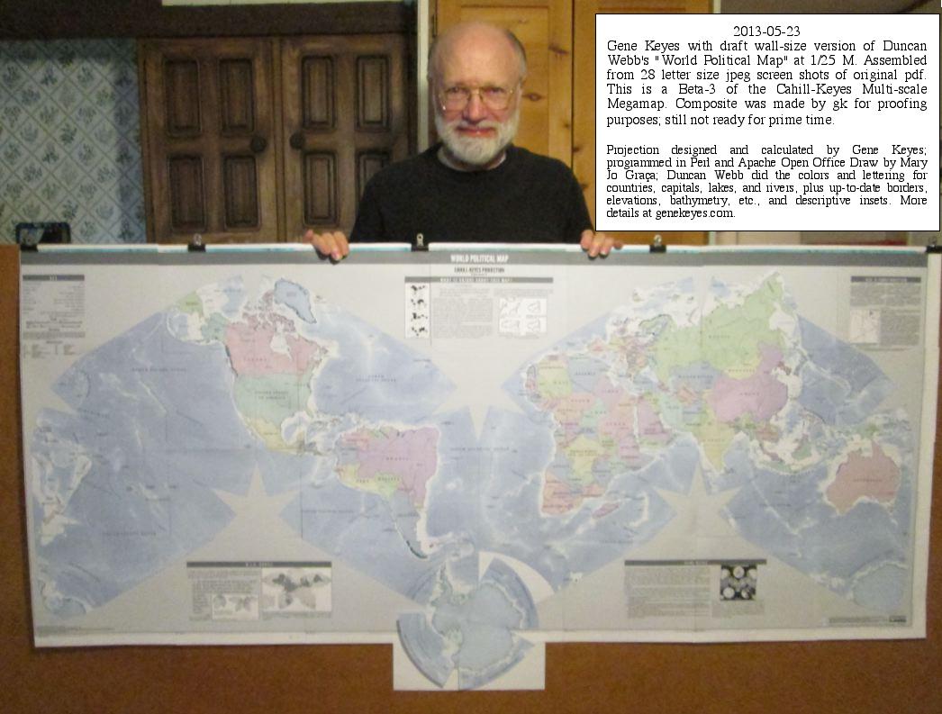
This is page 2 of 5 of the Duncan Webb draft version, with 5 insets, and
sheets 1-6 of 28 at 1/25 M, plus a photo of the finished splice.
As explained on the previous page, Duncan Webb's "World Political Map" is an incomplete draft, from which my own printer could not make a direct copy of the pdf; only inferior screenshot jpegs. Nonetheless, to preview his wall map in its full size, ca. 164 cm x 84 cm (ca. 66" x 33"), I spliced together 28 of those dubious jpegs on letter-size paper (+ 4 extra sheets to reassemble Antarctica, Russian Far East, Iceland, etc.). A severe defect of this splice is that the jpeg-prints do not show the 1º meridians and parallels, while the 5º ones are barely visible. |
|
|
If you wish, you could download the full-size
pdf from the previous page, and let a printshop do a full-size hard copy,
which will be much better quality than these jpegs. Otherwise, if you have
too much time on your hands, and would like to duplicate my inferior splice
of an unfinished draft version, I am including those 28 screenshots here.
This improvisation will have to suffice, unless or until Duncan sends a
completed one-piece file of the map.
Note: I increased the print size slightly to be 1/25 M, not Duncan's stated scale of 1/27 M. Mine enables a grid whose squares are 4 x 4 cm, not 3.7 x 3.7. To do that, at least on my 17" Acer laptop PC, Windows 7, the Adobe Reader pdf image had to be 116%, with screenshots made by IrfanView. Note also that there is no print version available yet, as stated at the bottom right of the map; sorry about that. Ahead of the 28 images, I am including Duncan's text inserts, full-size and undivided, which was not possible with the map screenshots. |
|
|
|
|
|
|
Now for the actual same-size images of the map
itself, in 28 pieces. I made each image on a letter-sze page, landscape view,
with ca. 4 grid squares vertically, and 6 horizontally, plus enough outer
excess to leave overlap for aligning. But the vertical overlap is tighter
than the horizontal.
Because Adobe Reader is slow to scroll, I
did the screenshots according to this table: starting at bottom left, and snaking "page-up" 4 times;
then across 1 page-equivalent; then "page down" 3 times, then across 1; then "page-up" 3
times, etc., and jotting the page number on the back of each sheet after
it was printed.
As for splicing, I used a semi-exact, semi-quick-and-dirty
procedure, whereby I trimmed off the excess white margins of each page, and
aligned the overlaps on an improvisational "light table": a window in daytime,
or a plexiglass-door cupboard in which I put a lamp, at night. I then taped
the two sheets together at their edges-to-splice, using Scotch Removable
Tape, and cut along the joint with a scissors; peeled off the duplicate strips,
aligned the two sheets along the identical cuts, and joined them in back with
more removable tape.
|
| 1 of 28. Note: make 2 of these, so you can cut out the Antarctica piece along 60º. (Beta-2 had Antarctica, etc., digitally attached in one piece, but Duncan had not yet included that here.) Also, the top and bottom strips are to be cut off, though I left the top one on across the upper sheets, 4-5-12-13-20-21-28. Because of the slightly larger scale I use, the "59 x 25" inch reading at the bottom is incorrect; the finished assembly is actually 164 cm (66”) long and 84 cm (33”) high, including extra space for the full Antarctica. 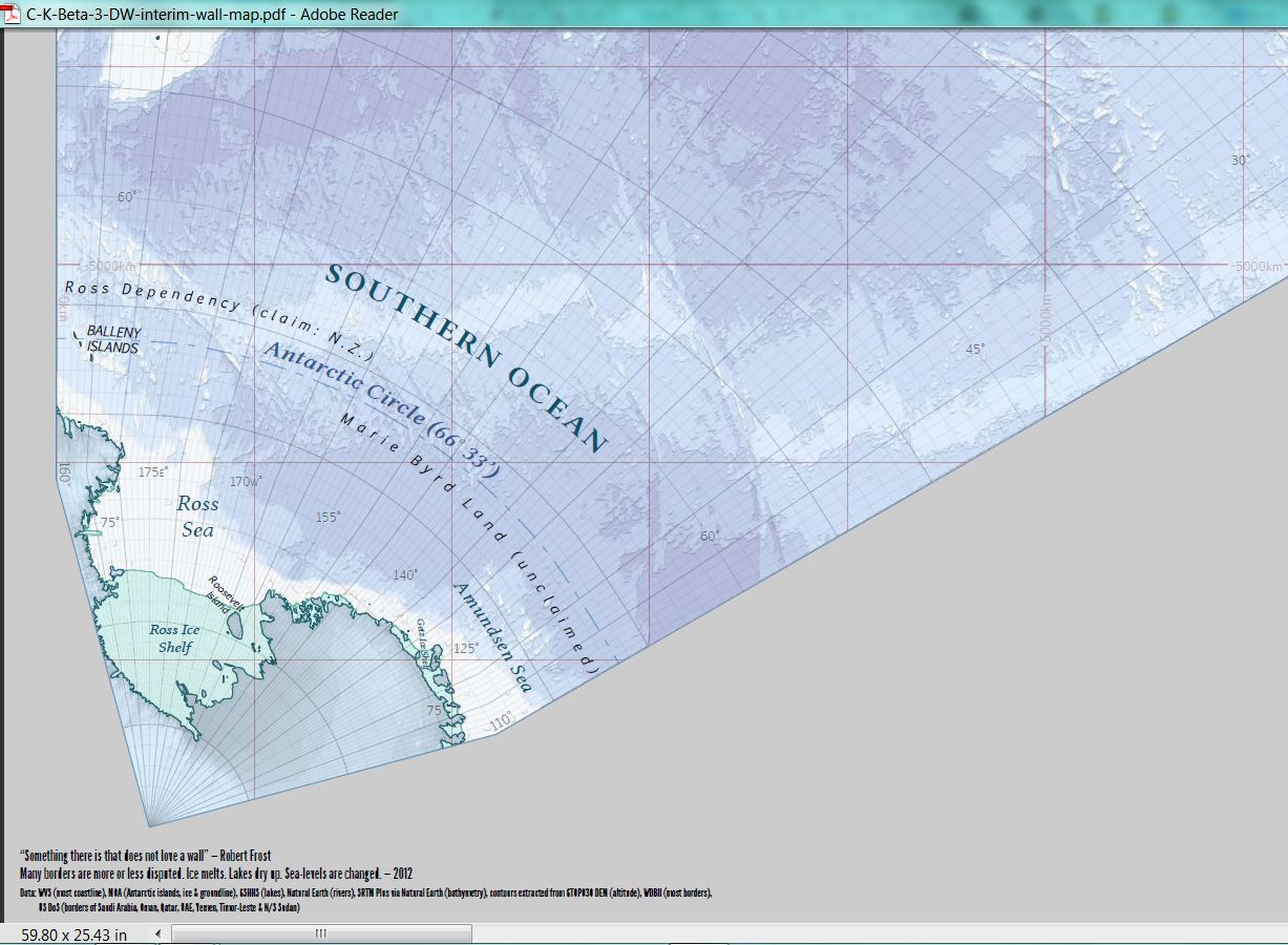
|
#2 of 28.
|
# 3 of 28.
|
#4 of 28.
|
# 5 of 28.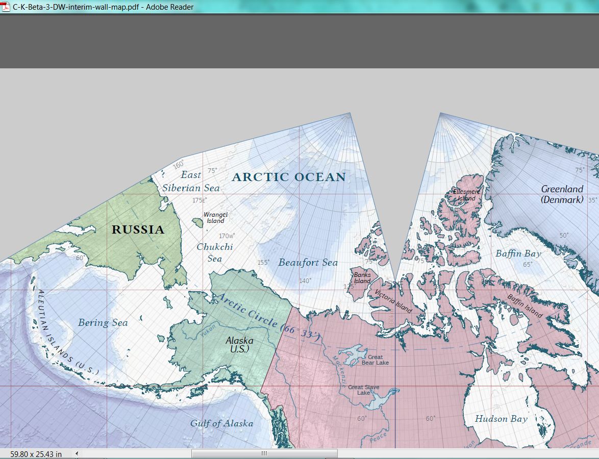
|
#6 of 28.
|