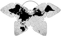
Cahill 1909
|
Go back to Gene Keyes
home page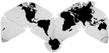
Cahill-Keyes 1975 |
Photos of the Cahill-Keyes Megamap Prototypes
Gene Keyes
2009-12-26
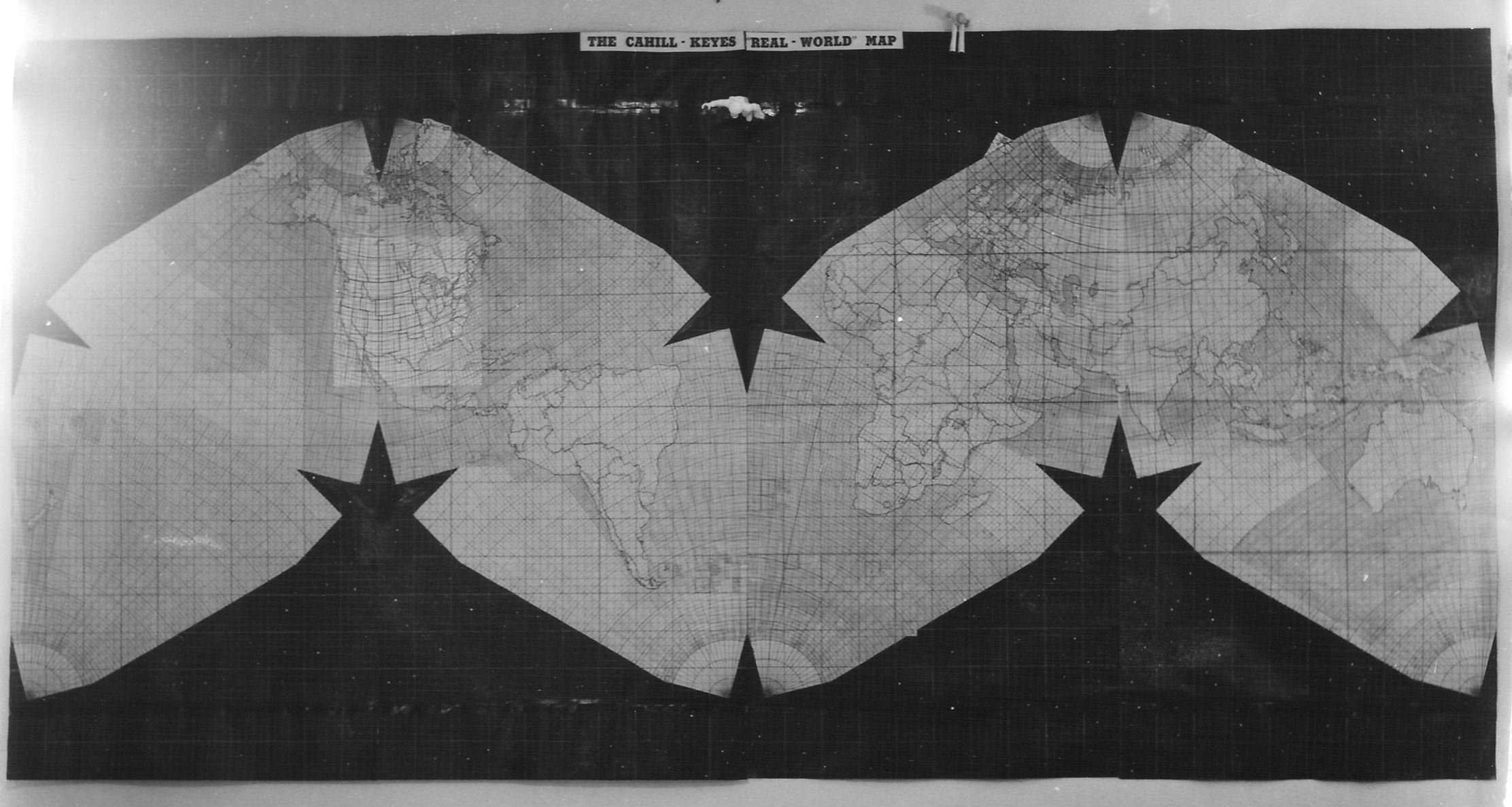
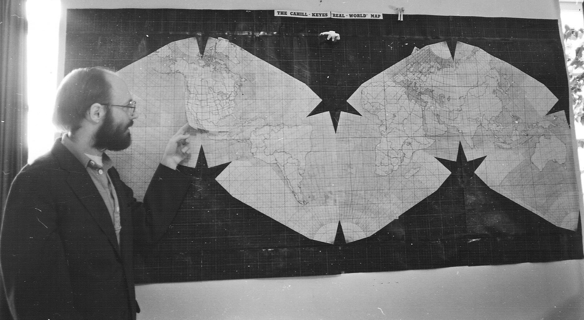
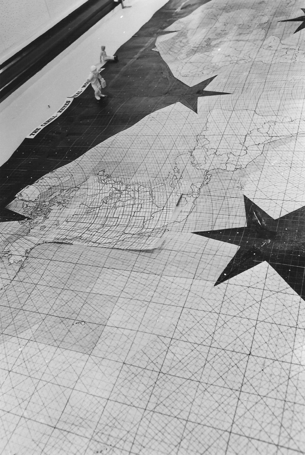
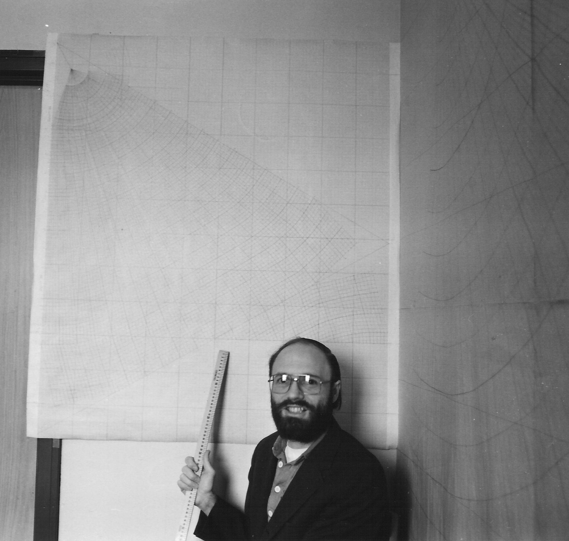
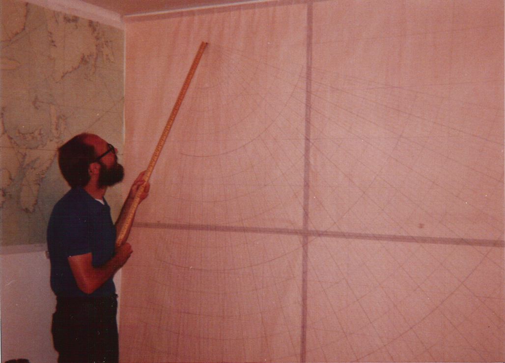
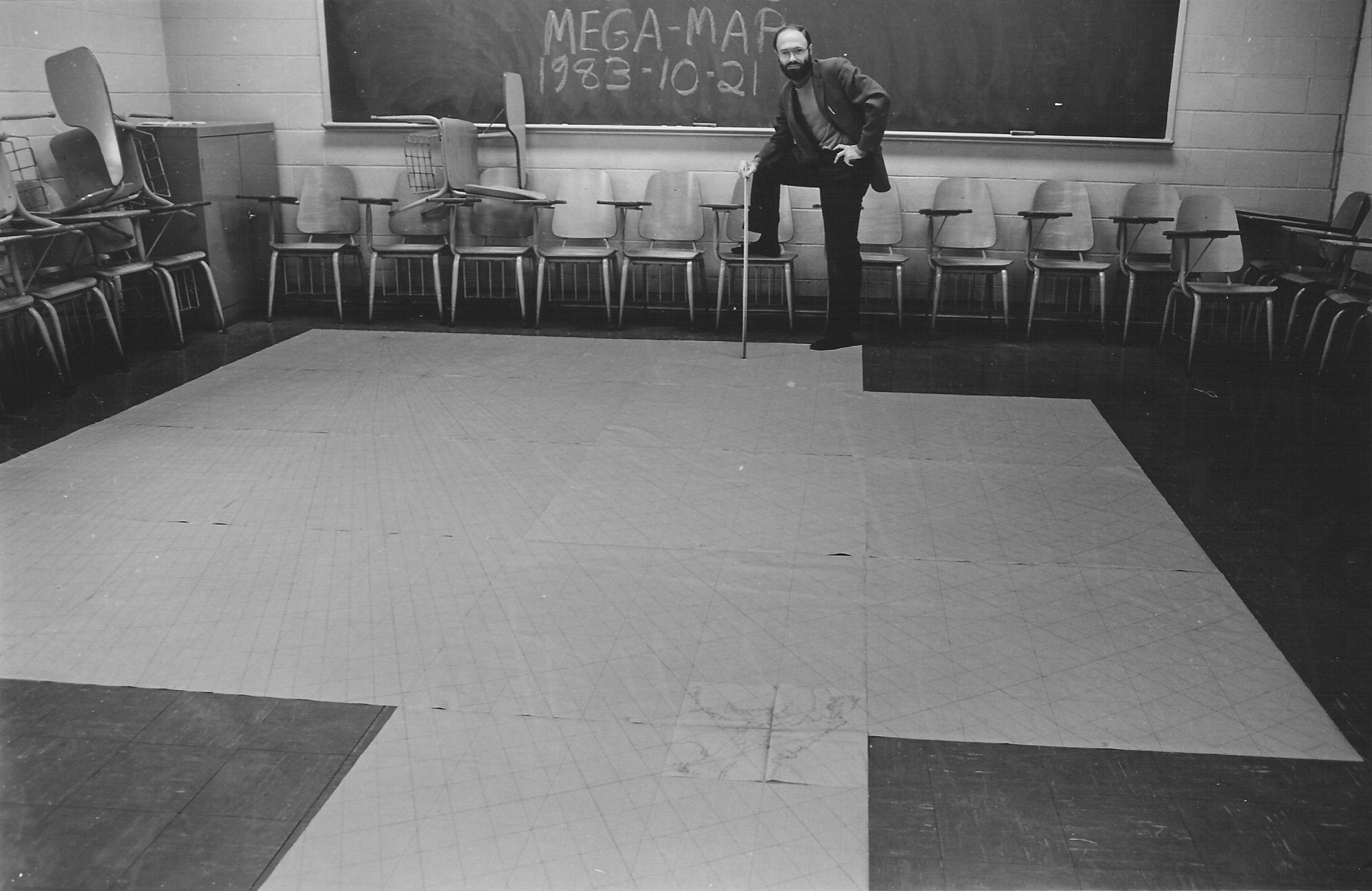
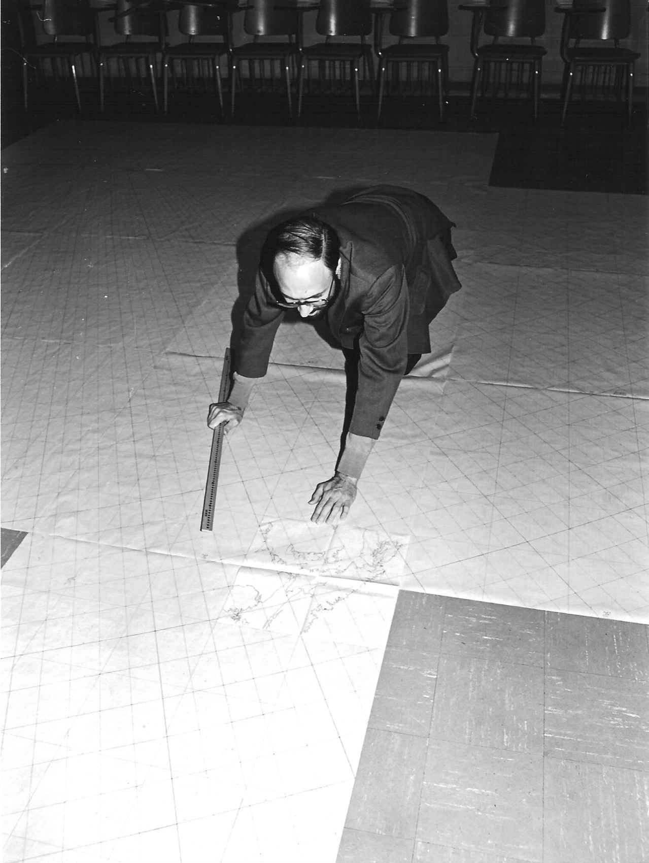
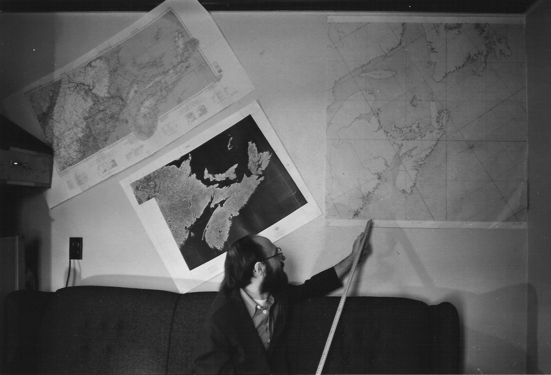
Explanatory note:From 1975 to 1984 I did much preliminary calculation and design work toward a Cahill-Keyes 1/1,000,000 Megamap. I also executed by hand numerous drafts and prototypes.
Due to personal exigencies, the project was mothballed in 1984. Now that I am retired, and have a website, a 1998 Mac, and an HP scanner, I've begun to salvage some of that material — part of my effort to publicize the world map designs of B.J.S Cahill (1866-1944), the progenitor of my own mapwork.
Below are some photos showing early stages of the Megamap endeavor. As I mentioned elsewhere, my "Coherent World Map System" concept may be moot, but I think these notes and pictures warrant some space on the Web, rather than just languishing in my files.
Closely related to this page are the following papers of mine:
"Ten Principles for a Coherent World Map System"
"Geocells and the Megamap"
"Notes on Scaling Cahill and Cahill-Keyes Maps"
"Notes on Re-desiging B.J.S. Cahill's Butterfly World Map"
"Evolution of the Dymaxion Map: An Illustrated History and Critique"
(and see especially Part 9.2, "Total Irregularity of [its] Graticule"
Tags: B.J.S. Cahill, Cahill-Keyes, Megamap, cartography, Coherent World Map System, geocells, graticule, world map, Butterfly Map, "Real-World Map", 1/1,000,000, 1/10,000,000, 1/20,000,000, world map design