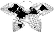
Cahill 1909
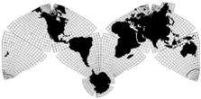
Cahill-Keyes 1975
|
Cahill 1909
|
Go back to Gene Keyes
home page
Cahill-Keyes 1975 |
|
2012-03-15: This brief update shows improved
versions of the Cahill-Keyes 5º globe; and the digital Cahill-Keyes
Multi-scale Megamap, now in Beta-2.
|
|
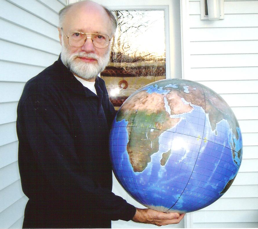
Fig. 1: A second prototype edition of the Cahill-Keyes 5º globe, as designed by myself and produced by Joe Roubal.
The earlier version could be dismantled or reassembled into its 8 component
octants, but had a less satisfactory glossy finish.
Photo by Kim Keeble.
|
|
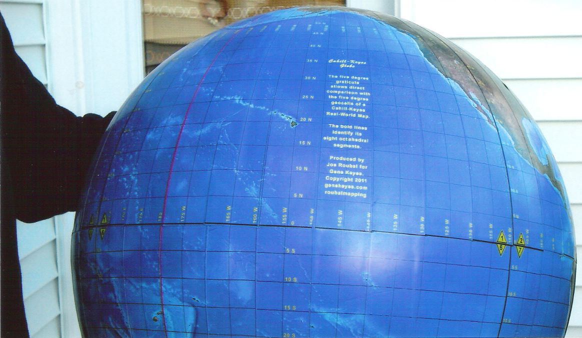
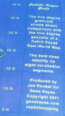
| Fig. 2: Closeup showing globe's legend (Scroll to right for complete image.) Photo by Kim Keeble.
|
|
|
Fig. 2a: Closeup detail, of globe's legend. Also, every 5º parallel and meridian is numbered, with repeats at 45º intervals.
|
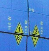
Fig. 2b:
Closeup detail of the eight octants' numbering, in yellow triangles, repeated
at each of an octant's three vertexes: two Equatorial, one Polar.
|
|
|
|
|
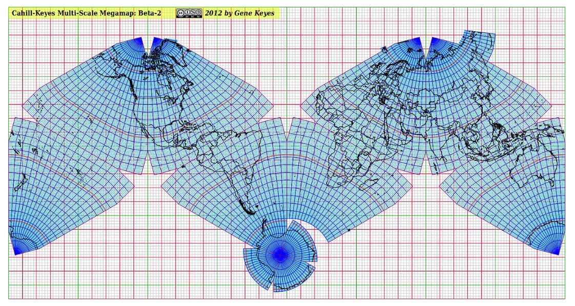
Fig. 3: Below is only a very small jpeg
of the Cahill-Keyes Multi-scale Megamap, Beta-2. Remember that the original
is a 40 mb pdf or odg file,, 40 m x 20 m. Mary Jo Graça has augmented
her Perl and OpenOffice.org programs to make the following improvements:
It is far preferable to view the pdf's with a Chrome browser. Note that the pdf's have no jaggies in print (nor onscreen, at least in Chrome), and that the one-degree geocells are fully visible. |
|